For many residents of neighborhoods in East and West Savannah, Georgia, a rainy day means more than just bringing an umbrella—it means flooding that damages property, poses physical health risks, and drives up cleanup and insurance costs.
When the city’s Innovation Team (i-team) set out to address the issue—a priority for Mayor Van R. Johnson—they first analyzed existing federal flood models, but learned the models didn’t reliably include flood-prone areas at the neighborhood level, where the impacts of increasingly frequent and intense rainfalls are felt most acutely. In August of 2025 alone, the city received nearly 12 inches of rainfall—almost double the 30-year average—straining the city’s aging system of storm drains and canals.
To get a more complete picture of where flooding was a recurring problem, the i-team sought resident insights directly, treating their lived experience as essential data.
“A resident would say, ‘This corner by my house floods every time it rains,’ but Federal Emergency Management Agency maps and existing models would show that the area should not be flooding,” says Manny Dominguez, director of the i-team in Savannah. “That type of hyper-local information—you can only get it from Miss Betty who lives across the street … As a result of going through that process, of sitting with residents in their living room, on their blocks and street corners, we had those ‘a-ha’-type moments where we got to a deeper understanding of the issue and how it was impacting them directly.”
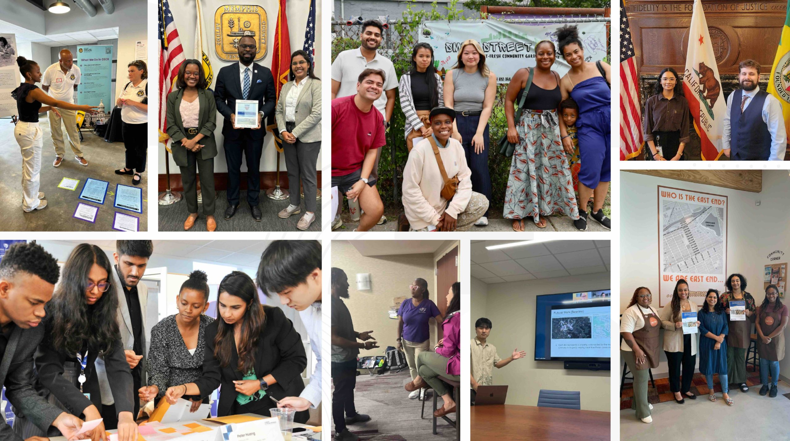
To identify the specific locations where flooding occurs, residents and city hall teams worked together in multiple mapping sessions to systematically document their knowledge of flood-prone areas. Using Map Spot, a low-cost tool developed at the Georgia Institute of Technology, the i-team projected digital neighborhood maps onto large sheets of paper, allowing residents to mark the maps with pens and markers and contribute their own experiences of flooding.
The i-team also conducted resident and stakeholder interviews, attended over 40 community events reaching over 500 residents, and analyzed over 1,500 survey responses on flooding, air quality, and other issues impacting Savannah residents.
With this intelligence, the team is taking its next step: co-creating solutions to mitigate flooding together with residents, block by block.
Prototyping “Sponge Blocks” with Residents
Savannah is now prototyping the “sponge block”—a combination of nature-based infrastructure solutions that help the land soak up rainwater and prevent flooding. In a sponge block, the neighborhood block becomes a climate‑resilience unit of rain gardens, rain barrels, native plantings, and bioswales (landscaped depressions designed to capture stormwater runoff), all located, installed, and managed in partnership with residents.
From zoning to transportation to parks, decisions by many city departments impact flooding. Sessions for ideation and co-creation brought together over 500 participants that included residents and representatives from 15 different city departments and members of local non-profits and academic institutions, and generated more than 200 ideas to address flooding, extreme heat, and air pollution. The mapping tool also facilitated collaboration between city staff and residents to ideate possible solutions together. “It rallied city staff, and gave a whole-city approach to this one very specific issue that has very complex root causes and can have a multitude of different solutions,” says Dominguez.
The productive collaboration of staff across city departments with residents has inspired a commitment to apply the public innovation process to other climate-related challenges, such as improving air quality and protecting against extreme heat.
“Residents must see their feedback incorporated in the solutions, prototypes, or pilot programs,” says Rutuja Chavan, the i-team’s civic designer. “Innovation can feel very scientific, but it is also about the relational infrastructure, which allows the idea to actually flourish and take root in the community.”
Savannah’s sponge blocks entered the design phase in early 2026, with the first prototypes deployed in Savannah’s Eastside and Westside neighborhoods. Each sponge block is projected to manage up to 8,000 gallons of rainwater and reduce runoff entering storm drains during the first 1-1.5 inches of rainfall, the range typically associated with nuisance street flooding.
The prototypes will allow the i-team to evaluate local performance—using quantitative data such as the frequency of 311 flood requests and runoff intensity; and qualitative data such as resident feedback via surveys, photo diaries and journals, and neighborhood walks—before scaling up and expanding to more blocks.
Additionally, the sponge blocks are installed, managed, and monitored in collaboration with residents. Each prototype will have a designated resident “block captain,” to serve as co-lead during design and implementation. The i-team will have preparatory “Green Infrastructure 101” sessions with residents to refine and tailor prototype designs, and installation will take place with the help of residents on activation days.
Dominguez adds that the emphasis in the innovation process on prototyping and de‑risking design decisions gives the city a way to test ideas early, involve residents, and avoid rolling out fully formed solutions that could fail to address the problem they need to solve.
Because the sponge blocks are co-designed, created, and managed with residents, all parties share ownership and investment in the work’s success.
“We don’t want to just jump to a solution,” says Chavan. “Whether it is flooding or any other issue, we want to work with residents, try things out, and see what works. When residents are a part of that innovation process, and they see their voices in the solutions, it builds trust, and trust accelerates innovation forward.”